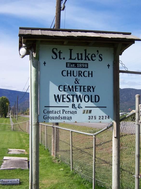
Westwold Cemetery
The following is a transcription of the Westwold Cemetery located in Westwold, British Columbia, Canada.
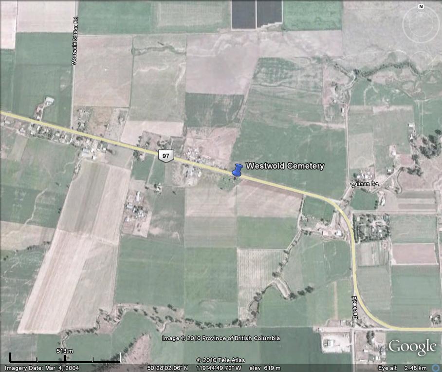
Location
- Latitude: 50o 28' 02.49" N.
- Longitude: 119o 44' 48.09" W.
Historical Background
From the 1800's until 1926 the community of Westwold was known as Grande Prairie. Settlement in the area began in the 1870's, with the Pringle, Kirkpatrick, Jones, Currie, Clemitson, Clemes and Ingram families.
Layout
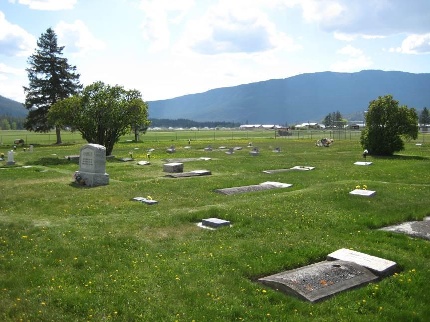
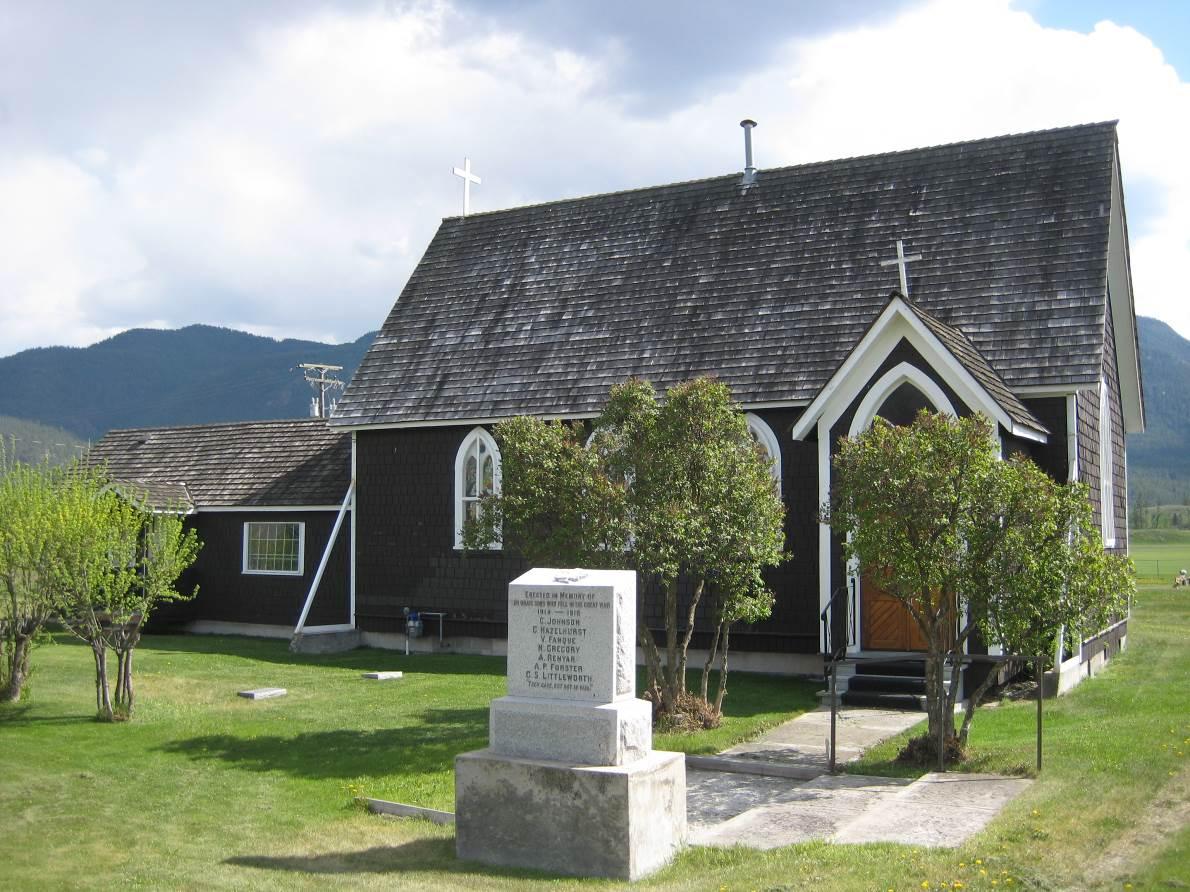
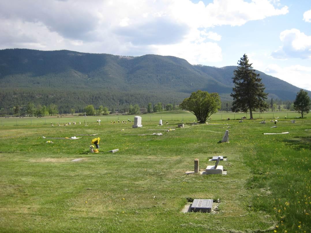
The Westwold Cemetery is a private cemetery beside St. Luke's church. It is still in use today. The cemetery is fenced with a latched gate at the entrance. It has two sections consisting of one large area of over 400 plots and one cremation section. It is laid out in east/west blocks of 16 rows. There are 21 marked graves and 25 unmarked graves. The graves are levelled and there is a combination of markers including: upright raised markers, flat markers, bronze markers as well as slate, marble, concrete and wooden markers.
The cemetery is well maintained.
Driving Directions
St. Luke's Church and Cemetery are situated on the south side of Highway 97, next to Westwold Elementary School.
Burials
The interments for the Westwold Cemetery can be viewed as a pdf file here » interments.pdf
Additional sources of information:
- Church of England. Grand Prairie with Ducks, Shuswap & Chase Parish Records.
- Familysearch.org
- Kamloops This Week
- Royal BC Museum (birth and death registrations)
- Vernon Morning Star
- Westwold Cemetery Records
- Young, Margaret F. Quelle Grande Prairie, history of Grande Prairie, Adelphi and Westwold. 1994.
Last updated April 2013